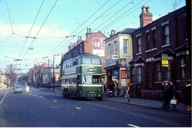
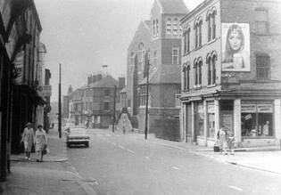
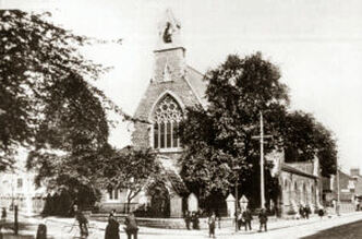
Top of St Anns Well Rd near Bilberry St. The Wells Rd continues in the distance.
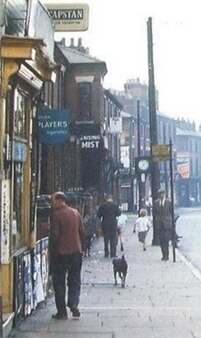
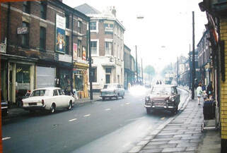
Top of St Anns Well Rd - near Bilberry St - no 360 (Sharpes newsagent)
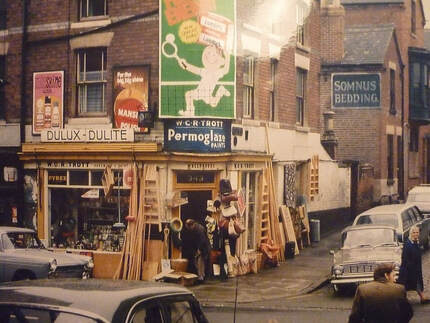
Trotts on the other side of the road - bottom of Lotus St
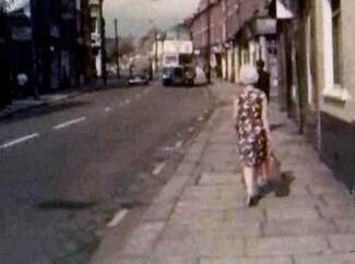
House nos 350 - 360
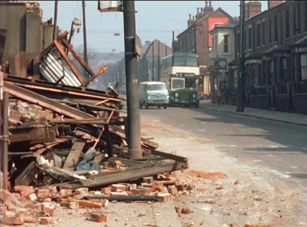
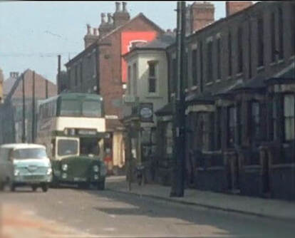
During the demolition - Photo taken from where Trotts had been
This website and facebook group(s) are exclusively about
one specific Nottingham road and immediate surroundings
before 1970
- an area of about 1sq mile -
The facebook group
was founded by
Tony Miller
31st December 2011
with three friends and one photograph
read more here
one specific Nottingham road and immediate surroundings
before 1970
- an area of about 1sq mile -
The facebook group
was founded by
Tony Miller
31st December 2011
with three friends and one photograph
read more here
Latest news:
- The Annual Gathering (2024 ) full details here)
- The public facebook group: St. Ann's Well Road Pre. Demolition ( 1970) Online Community (2012 - 2023) associated with this website became 'read only' from Jan 2024. A new private group was created - existing members became pre-approved to join: St Anns Well Road Pre 1970
Aims:
- Captures the 'essence' of our facebook group
- Preserves our collective memories
- Archives our images and memories
- Enables access to group topics in facebook
 St Anns Well Road Nottingham pre 1970
There are many photos on this website - here are four special collections:
Peter Garner
petergarnerphotocollection.weebly.com/
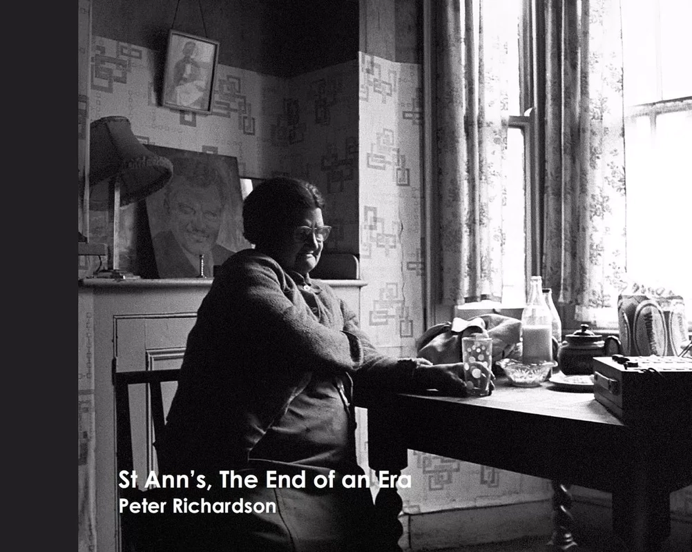
Peter Richardson
Leon Pavich
Dave Coleman
samples below
Peter Garner
petergarnerphotocollection.weebly.com/
Peter Richardson
Leon Pavich
Dave Coleman
samples below

This website last updated by admin Mavis Baker (Mavis Paskulich): Tuesday 2nd April 2024
contact here
contact here
Disclaimer:
The information on this site is provided voluntarily and as a public service. It is provided in good faith and is derived from sources believed to be reliable and accurate. There is no intention to infringe ownership rights to material and, where possible, sources will be appropriately acknowledged. Readers are advised that they are responsible for making their own assessment of any matters discussed within and are advised to verify all relevant representations, statements and information as required.
The information on this site is provided voluntarily and as a public service. It is provided in good faith and is derived from sources believed to be reliable and accurate. There is no intention to infringe ownership rights to material and, where possible, sources will be appropriately acknowledged. Readers are advised that they are responsible for making their own assessment of any matters discussed within and are advised to verify all relevant representations, statements and information as required.
This website is archived here:
https://web.archive.org/web/20231110210335/https://stannswellroad.weebly.com/
or search https://web.archive.org for St Anns Well Road Pre Demolition (1970)
https://web.archive.org/web/20231110210335/https://stannswellroad.weebly.com/
or search https://web.archive.org for St Anns Well Road Pre Demolition (1970)
Thanks go to: 'Picture the Past' website who have given permission to use some of their images.
"I was a little concerned with several photographs being downloaded to our site just in case we were infringing on any copyright regulations. I contacted there H/O and spoke to a Mr. Nick Tomlinson who heads up the department and asked him to take a look on line at our site for his comments. Pleased to report that he is comfortable about the pics being downloaded and can see that there is no commercial gain intended, and it is just for our general interest and enjoyment of the historic time of our childhood in St Ann's. However he would appreciate an acknowledgement to "Picture the Past" for our source of information, for the pictures we have already downloaded and others we might want to in the future. They have a really great and interesting website where pictures are available for purchase. So on our behalf "Many Thanks" Picture the Past, for your continued support and understanding. Cheers. Tony (founder)"
21 February 2012