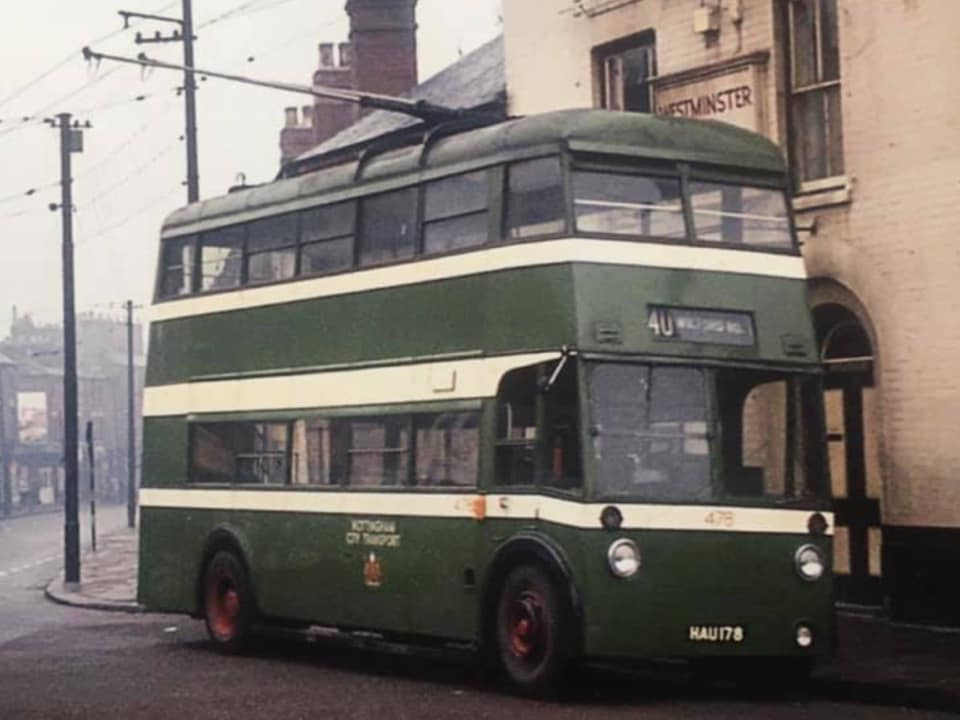
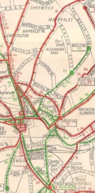
TRAM & TROLLEY BUS ROUTE
Take a Virtual Ride down St Anns Well Rd here in this video:
Take a Virtual Ride down St Anns Well Rd here in this video:
|
|
70 Years of images from early 19th Century to 1970
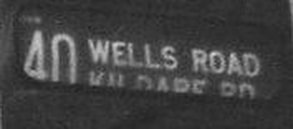
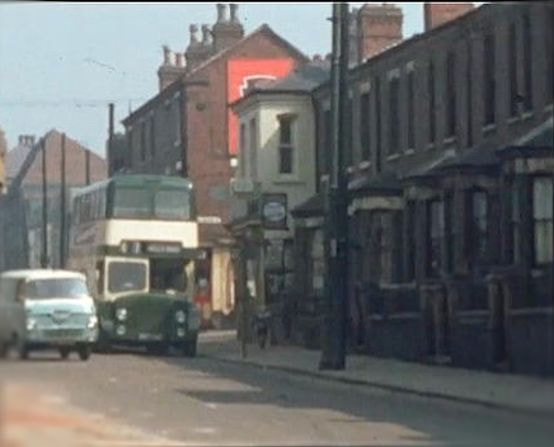
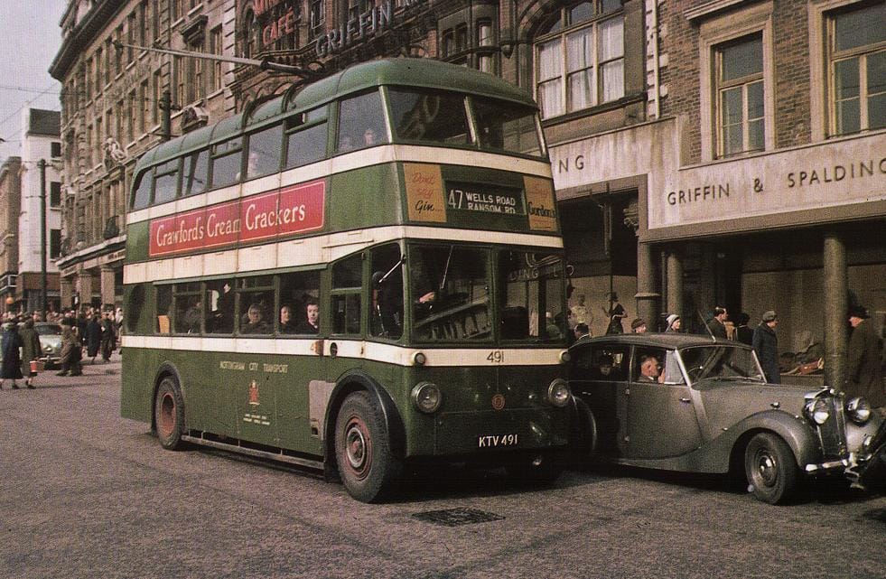
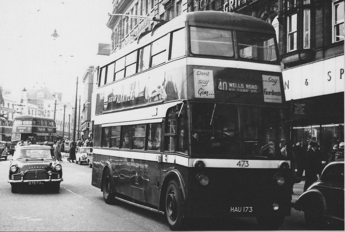
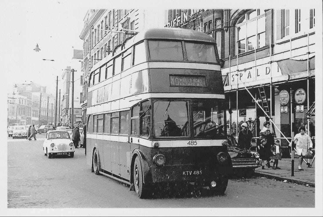
From Wells Rd Kildare Rd (no 40)
and
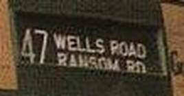
From Ransom Rd Coppice Rd Terminus (no 47)
From Wells Rd Kildare Rd (no 40)
and
From Ransom Rd Coppice Rd Terminus (no 47)
This video can be downloaded here:
| nos_40_and_47_st_anns_well_rd.mp4 |
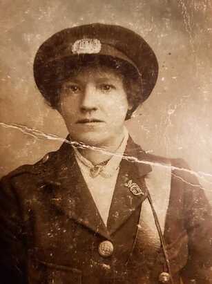
My great gran in her Trolley bus uniform (Mark Jones shared - 13/4/2021)
|
Location of Bus Stops going into town:
|
Location of Bus Stops
return journey via Market Sq - Long Row
|
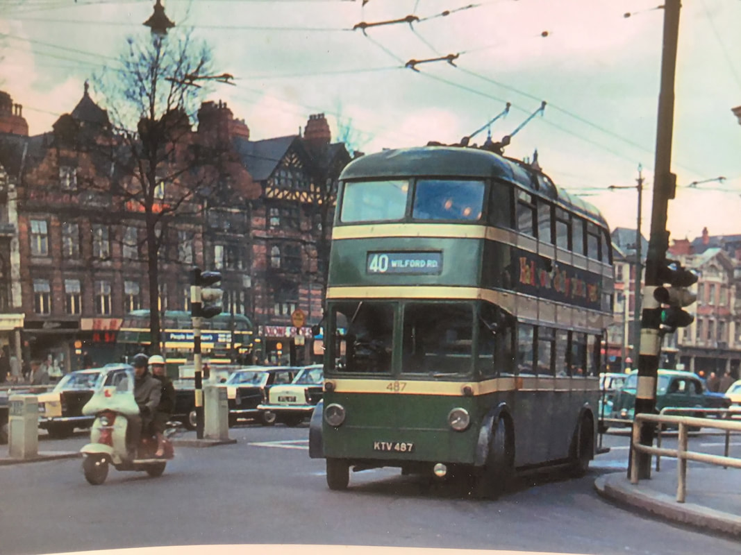
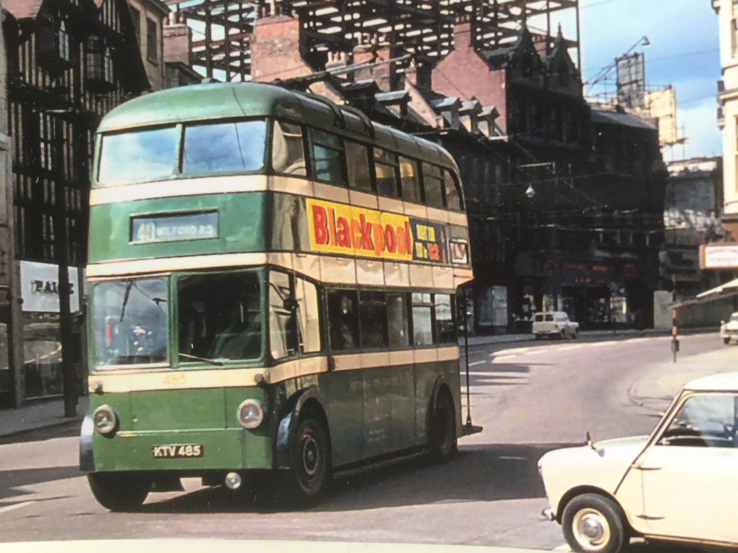
I have vague recollections of the 47 travelling from Ransom Road, the bottom of Bilberry Street, to the Fountain on the old Carrington Street car park close to the Towers and Broad Marsh, a shorter route than the 40 from Klldare Road to the Cremorne, at the end of Wilford Road, part of the journey to the Ferry in Wilford village over the hapenny bridge and were miners from Clifton colliery still with dirty faces got on the 40 to travel to senty.
more here,
more here,
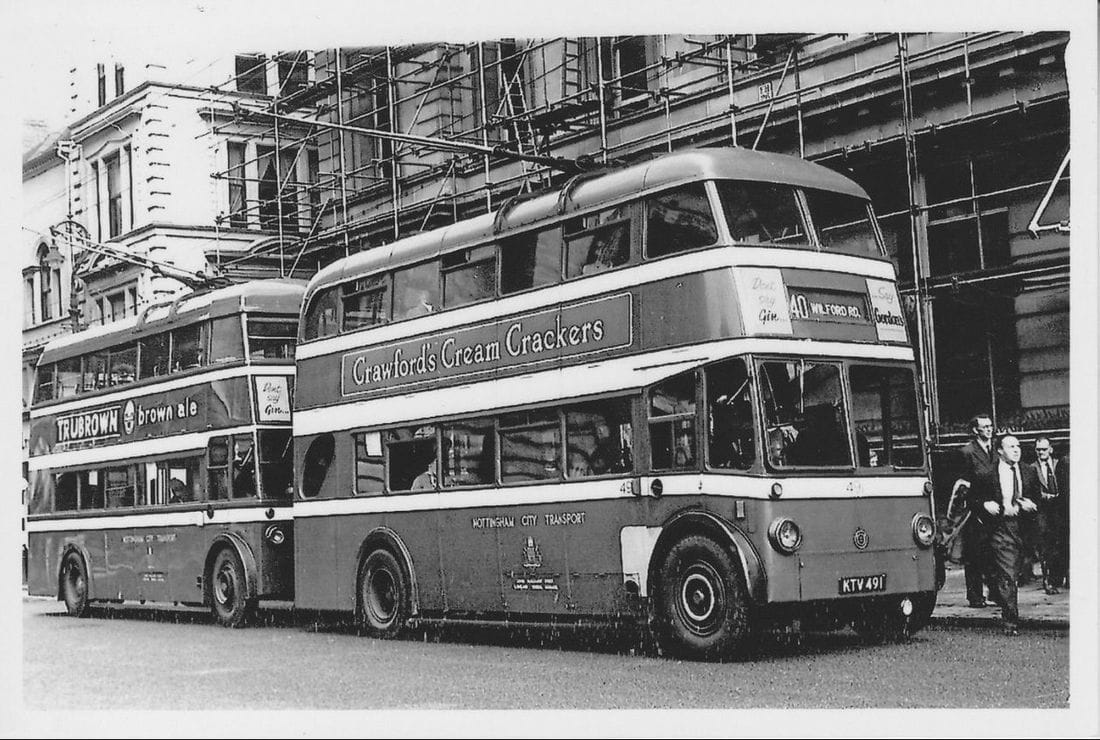
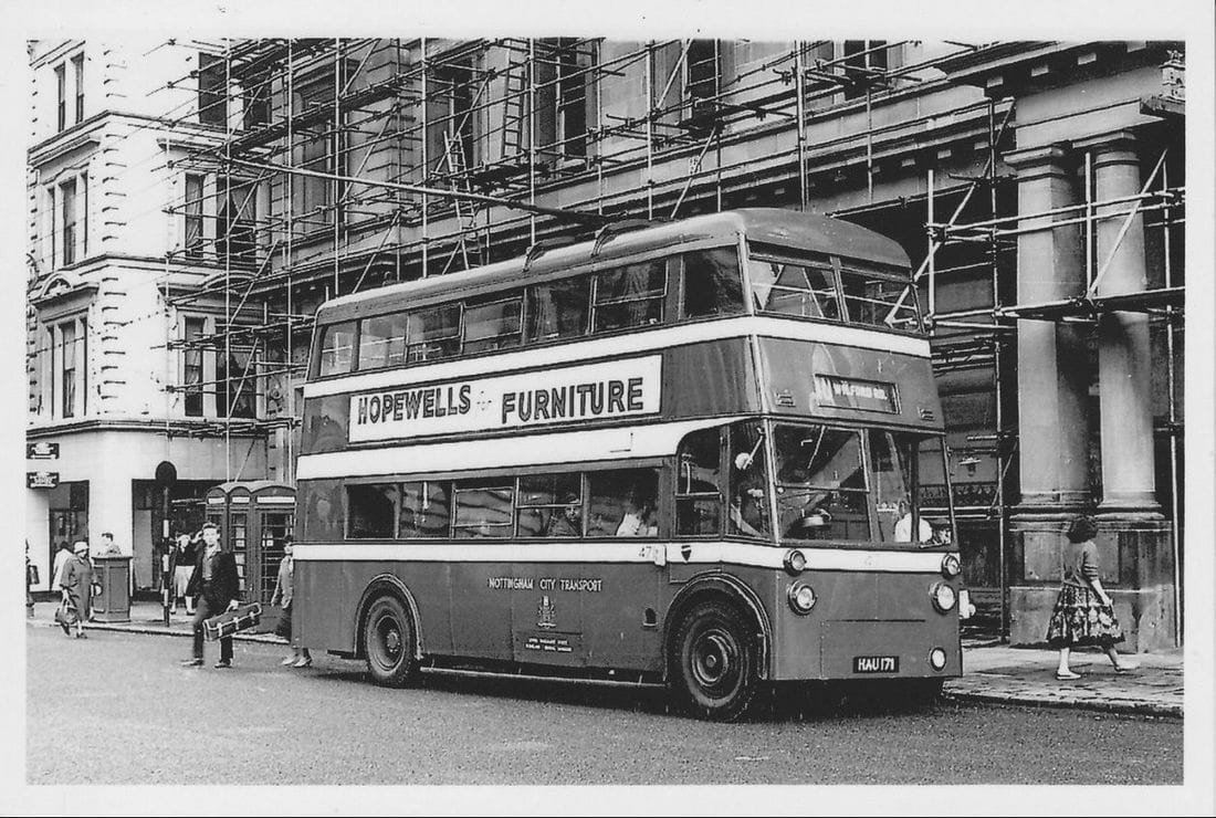
Both the 47 & 40 followed the same route into town. Around the island at Bath St. and up past the Palaise the stop was facing Central Market, then onto Parliament St. then up George St. to Hockley turn right down Victoria St.onto Cheapside the stop was
at Exchange Walk.Then turn left down past M&S and C&A to the Fountain. The 47 then carried straight on down Carrington St. then onto Arkwright St.down to the terminus at the Embankment Gates.
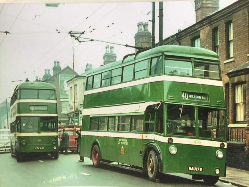
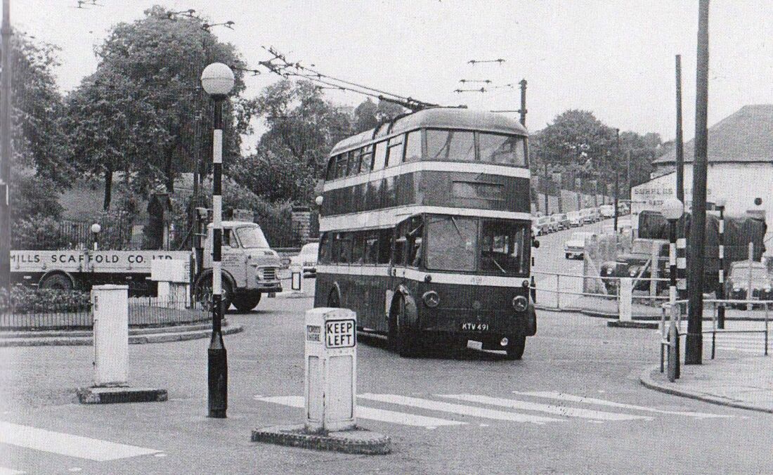
The 40 turned right at the Sherwood Rooms across Canal St. and left onto Wilford Rd. and all the way down to the Toll Bridge which was the turn around.
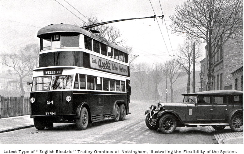
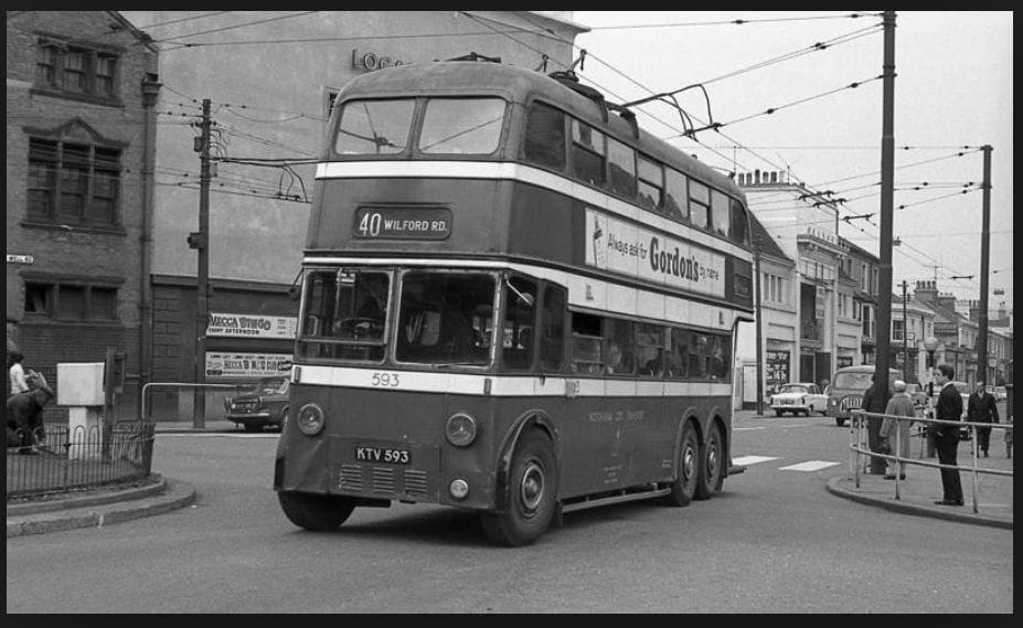
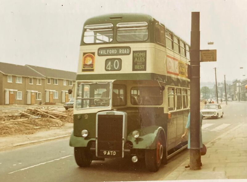
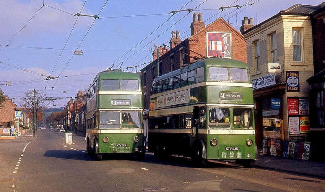
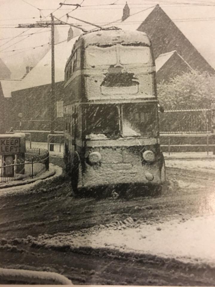
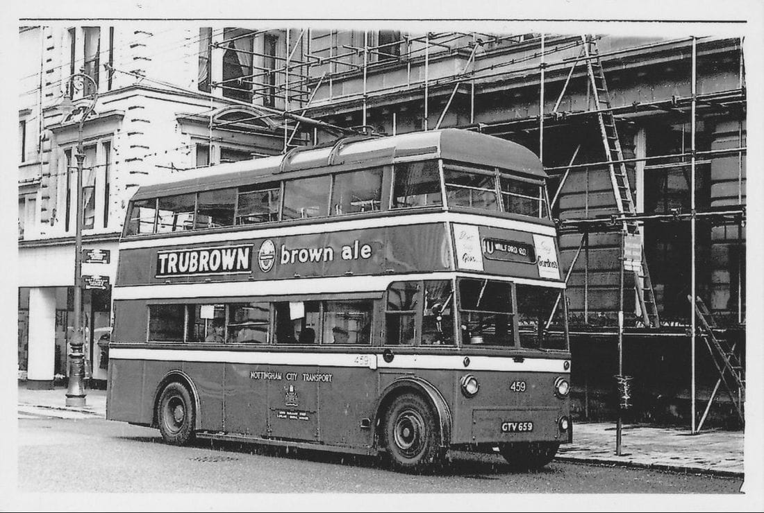
Wells Rd 40 Terminus
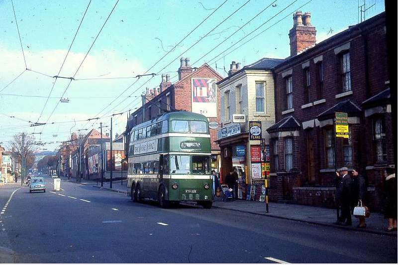
there are several images here that show buses at the bus stop opposite Westminster St. St Bartholomews Rd can be seen further up on the right hand side. The bus stop is closer to Bullace Rd/Bilberry St near Sharps the newsagent
Top end of St Anns Well Rd - Wells Rd continuing in the distance
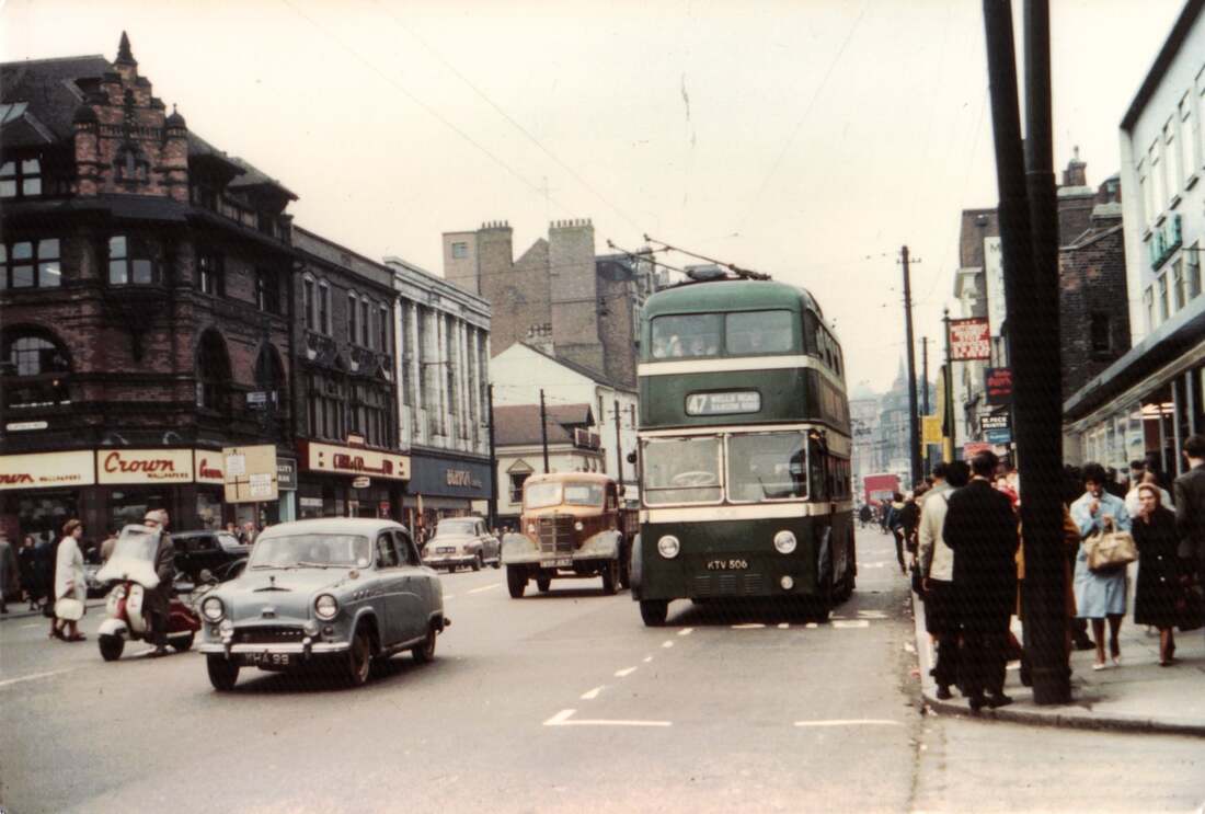
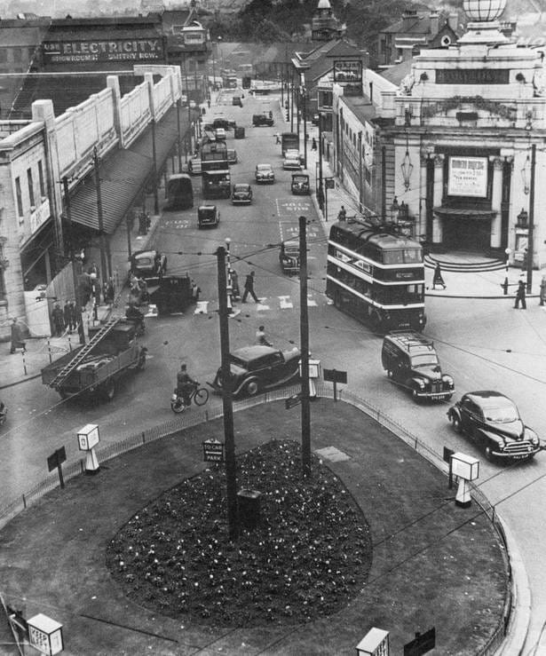
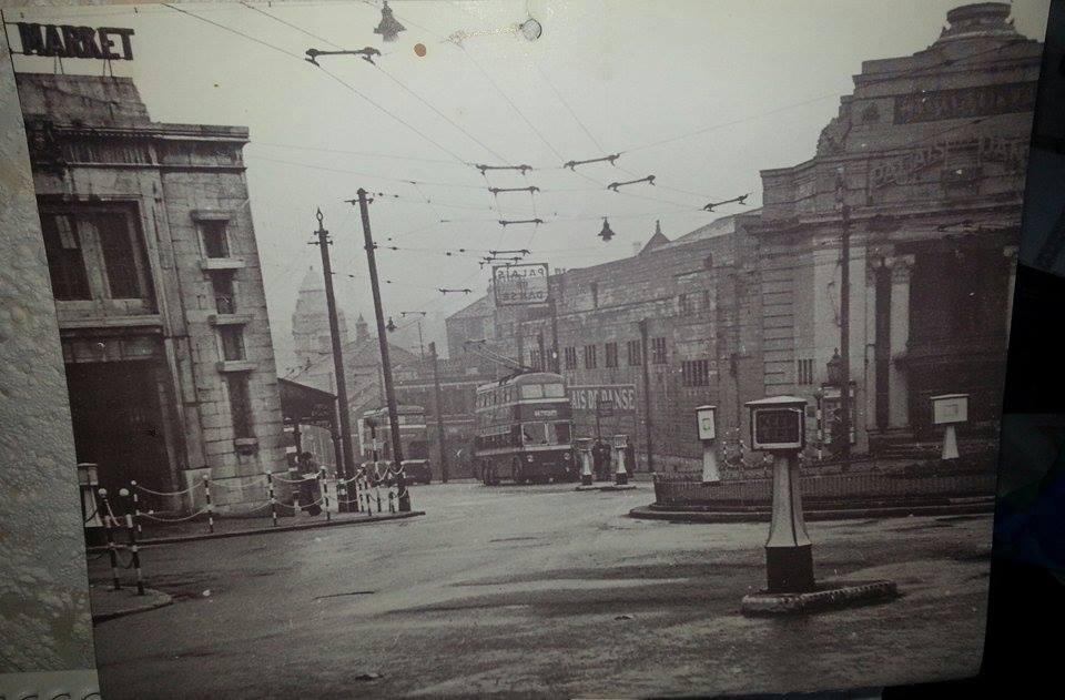
King Edward St, Central Market and Palais de Dance
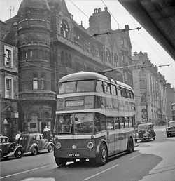
Upper Parliament St - The “Daily Express” building to the left was designed by the Nottingham-based architect Watson Fothergill.
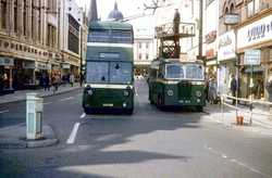
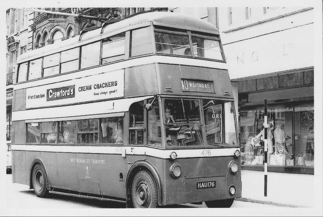
South Parade (Slab Square) - outside NatWest Bank - Exchange Walk (behind the bus) - Farmers shop on the corner.
|

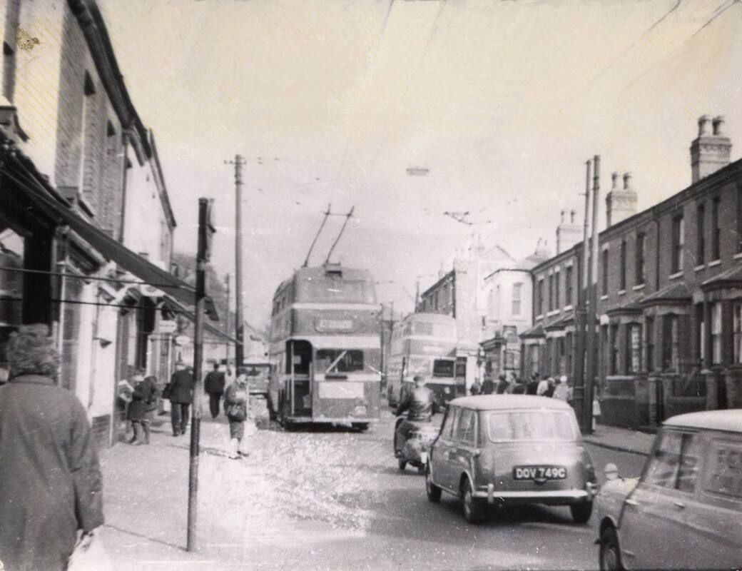
Top end of St Anns Well Rd - bus approaching bottom of Westminster St on the left - to the left would be Bramleys Pork Butchers, Tacey's fish and chips and the Co-op
Lister Gate
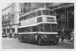
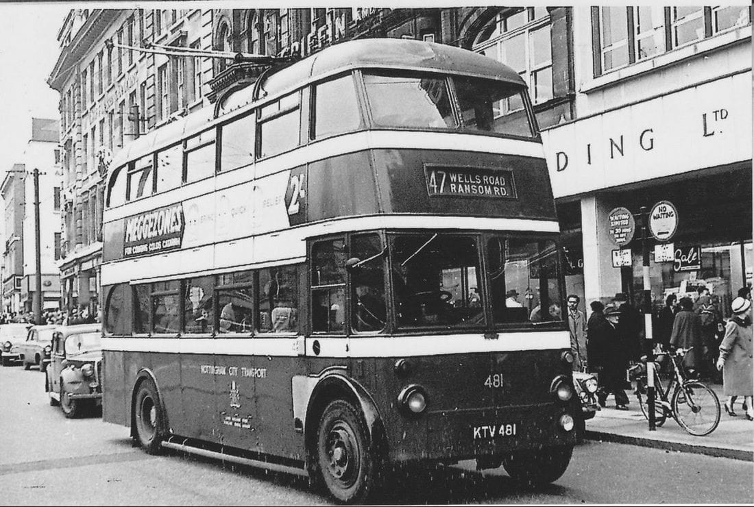
Long Row - always a mass of shoppers and workers boarding the bus here. Glimpse of the department store Griffin and Spalding
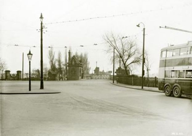
Wilford Toll Bridge, locally referred to as the 'Halfpenny Bridge',is a tram, pedestrian and cycle bridge in Nottingham, England. It crosses the River Trent between the Meadows and Wilford. It originally opened as a toll bridge for general traffic in 1870, but was closed when declared unsafe in 1974. Following demolition of the central span, a narrower footbridge and cycleway was opened in 1980. The bridge was once again widened to accommodate an extension of the Nottingham Express Transit network in 2015.
Parts of the northern side of the bridge are Grade II listed building, including the former toll house. https://en.wikipedia.org/wiki/Wilford_Toll_Bridge |
website:
https://stannswellroad.weebly.com
facebook group:
www.facebook.com/groups/StAnnsWellRdPreDemolition1970
https://stannswellroad.weebly.com
facebook group:
www.facebook.com/groups/StAnnsWellRdPreDemolition1970